
200 personnel added to Williams Mine Fire near Trout Lake, Wash.
The Dalles, Ore., Aug. 14, 2024 — Total personnel at the Williams Mine Fire has grown to 471 people as firefighters continue to battle the lightning-caused blaze burning in thick timber near Trout Lake, Wash.
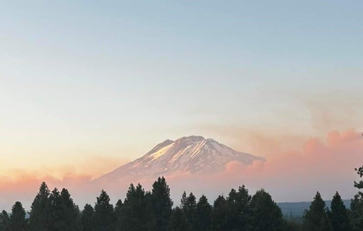
The estimate of the total acres involved in the blaze has grown to 11, 149, since it torched off on Aug. 5, according to the Williams Mine Fire page.
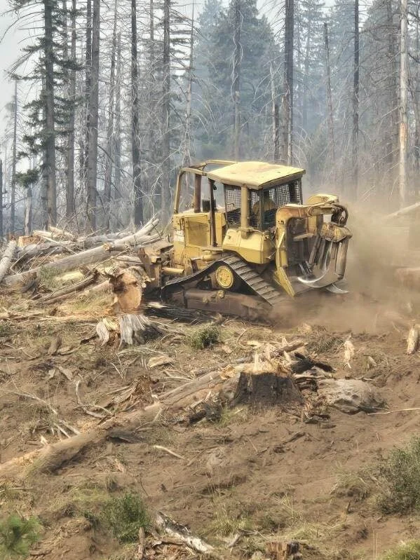
Heavy equipment is being used to build containment line as seen above at the Williams Mine Fire. Photo courtesy the Williams Mine Fire page.
From U.S. Forest Service:
A community meeting will be held tomorrow, Thursday, August 15, at 7:00 pm. The meeting will be located at the Trout Lake Volunteer Fire Department, 2415 WA-141, Trout Lake, WA 98650. This meeting will be recorded and posted to the Williams Mine Fire Facebook for those unable to attend.
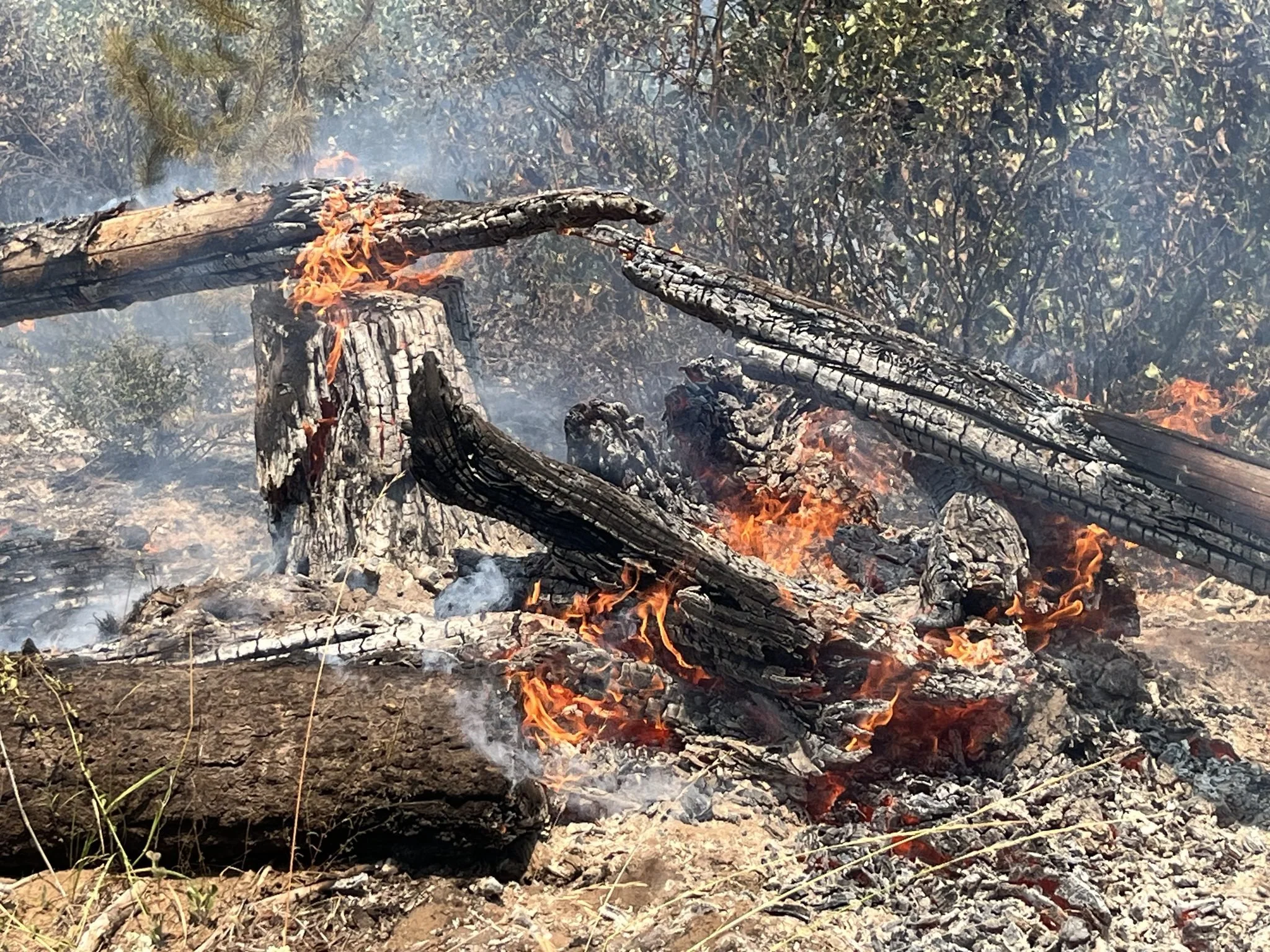
Firefighters continue to be successful with suppression action limiting fire progression spread to the south, in an effort to protect the community of Trout Lake.
CURRENT STATUS
Firefighting efforts will also be focused on the southeast flank of the fire, from the 8040 and 8020 roads as control lines have been assessed and implementation of line construction has begun. On the northeast side of the perimeter, firefighters are digging handline, engaging the fire directly with mechanical line construction following up in support of these developed lines. On the east side of the fire, crews are nearing completion of containment lines around Snipes Mountain. From Snipes Mountain, they will be working towards the historic Cascade Creek Fire lines and anchoring lines to the natural lava beds at the base of Mount Adams.
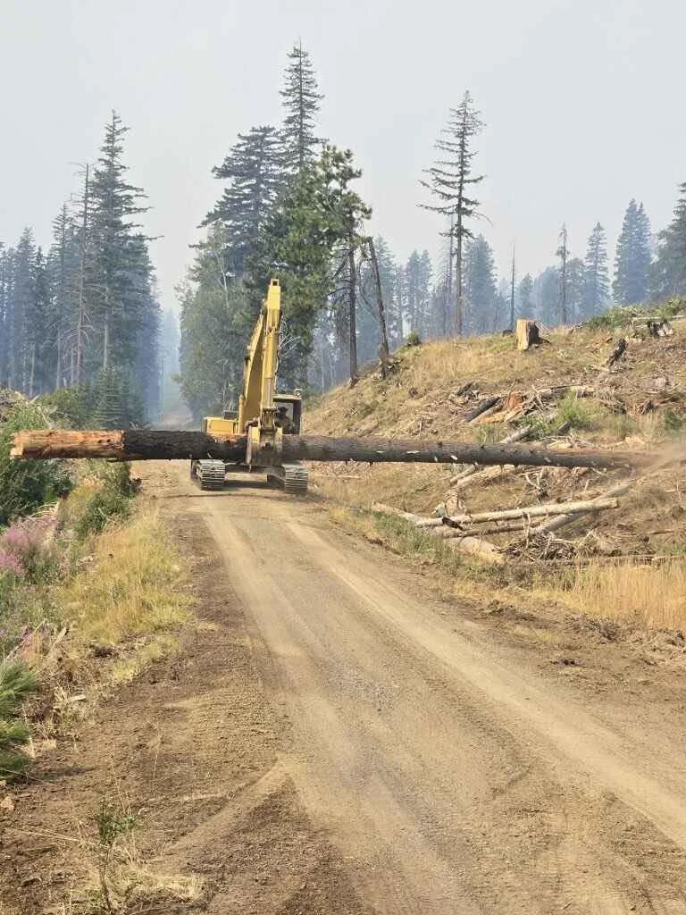
Photo courtesy the Williams Mine Fire page.
Firefighters are continuing operations upon an anchor point established earlier in the week on the southern perimeter of the fire from the Mt. Adams to Wicky Creek. This line has allowed crews to safely achieve primarily direct containment on the 8040 road system to the Buck Creek drainage. Dozers continue to place an indirect line west of Cascade Creek towards the Williams Mine Fire perimeter and the Cascade Creek burn scar. When connecting line construction across Cascade Creek, handline will be utilized to mitigate impacts from heavy equipment in the riparian areas.
Aviation resources, including airplanes and helicopters, are working to slow perimeter progression in priority containment areas of the fire. Yesterday, Aug. 13, aerial fire efforts had good visibility due to lower levels of smoke volume and fire managers used these conditions to aid ground resources. These priorities include the south and southeast corner towards Trout Lake, the east towards the Yakama Nation and the western perimeter towards the 23 road.
WEATHER / FIRE BEHAVIOR
Winds will relax as temperatures begin to warm today. The high is predicted to be 81, according to the National Weather Service with winds blowing 5 mph. This allows for the potential of increased instability in the afternoon and could develop vertical lift generating a higher smoke output. For Thursday, there will be a chance for thunderstorms near the fire with additional chances potentially this weekend that may have the ability to produce some rain showers.
SAFETY AND CLOSURES
Scooper planes continue to dip out of Swift Reservoir and the Columbia River between Memaloose Island and Lyle, Washington. Members of the public and recreators should be aware that scooper planes could approach and dip out of these water sources at any time as weather conditions allow for aviation operations.
Washington DNR managed lands near Trout Lake and Glenwood are closed to entry due to the Williams Mine fire. For more information, please see http://www.dnr.wa.gov/ahtanum.
The Confederated Tribes and Bands of the Yakama Nation, Tract D Recreation Area is closed, please see Yakama Tract D Road Closure for more information. Level 2 & 3 evacuations are in effect for the community of Trout Lake, and parts of Klickitat County.
An evacuation center is located at 1455 NW Bruin County Road, White Salmon, Washington. Evacuations are coordinated through the Klickitat County Sheriff’s Office and the Skamania County Sheriff’s Office. The FS-23 and FS-25 roads are closed, see the Williams Mine Area and Road Closure for more details. The Pacific Crest Trail (PCT) is closed from the PCT's intersection with FS 23 to Potato Hill. The current area closure spans the entire Mt. Adams Wilderness.
Support Local News
Available to everyone. Funded by readers.