
Grasshopper Fire Reaches 76% Containment as Crews Continue Mop-Up, Highway 35 Work
All photos courtesy the Grashopper Fire Facebook page
The Dalles, Ore., Aug. 21, 2026 — The Grasshopper Fire has grown to 93,365 acres and reached 76% containment as firefighters continue mop-up, suppression repair and efforts to strengthen containment lines across the fire area.
There are 1,832 personnel assigned to the fire. Fire officials said threats to the north, west and south continued to ease Thursday as containment held and crews made progress deeper into the fire’s interior.
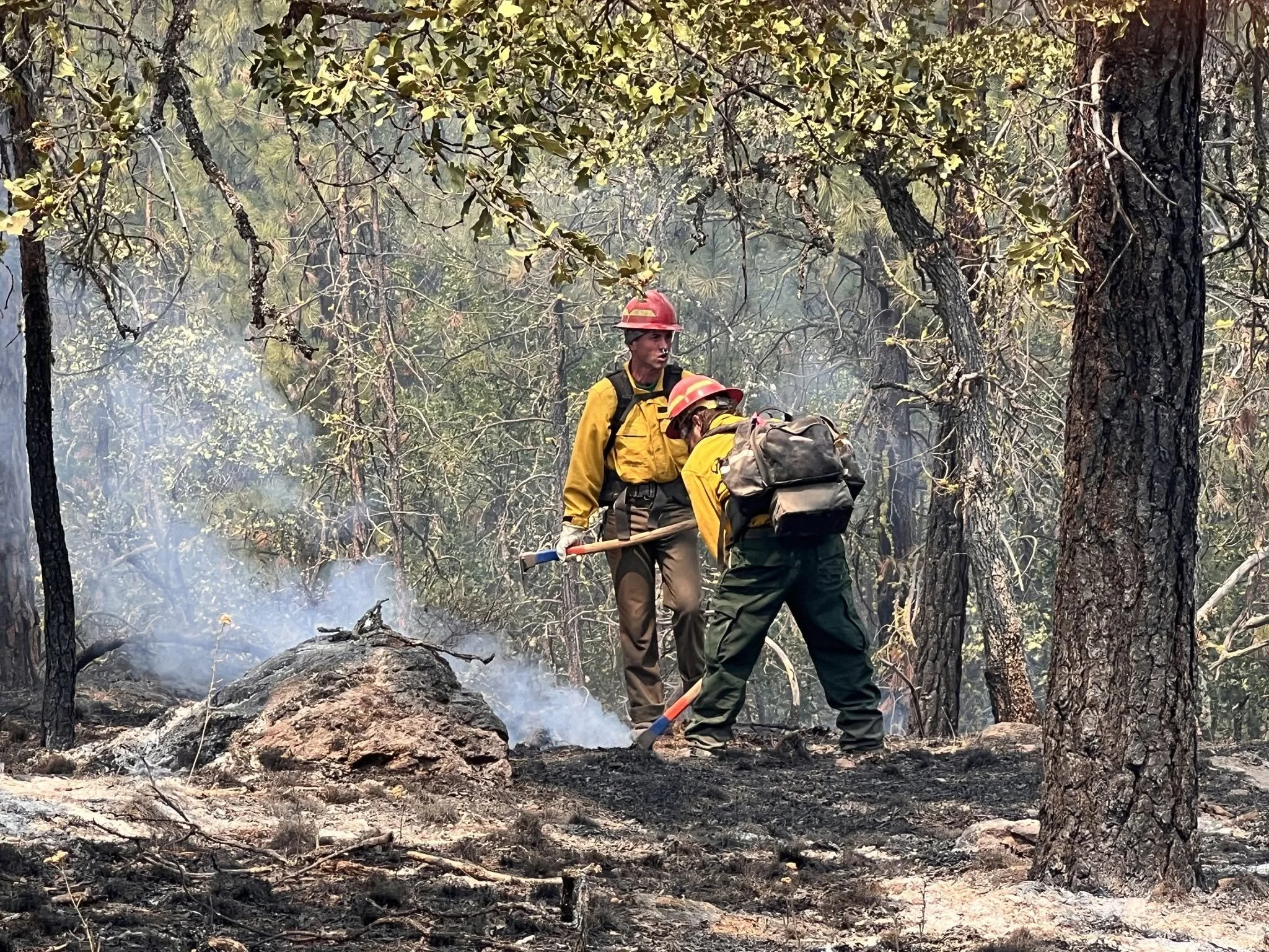
Pockets of dry fuel continued to burn well within the fire perimeter, while crews worked on snagging and suppression repairs. On the southwest side of the fire, high-line logging continued as crews prepared and cleaned the line to secure it. Aircraft were also used to cool the southwest corner.
Overnight patrols detected less residual heat, while additional resources were moved to the Austin Fire to assist with firefighting operations.
Today, logging and chipping operations will continue along Highway 35. Crews will continue mop-up and suppression repairs throughout the fire boundary, while hand crews work to connect old trail systems to containment lines in the southwest corner.
With containment reaching 76% and suppression efforts reducing the threat to homes, structures and communities, Oregon State Fire Marshal resources are returning to their home agencies.
The Southern Area Blue Incident Management Team and Australia/New Zealand Incident Management Team 1 remain in command of the fire and will continue coordinating suppression efforts. Wildland firefighters will continue strengthening protection around homes, while local fire agencies remain available to respond to changes in fire activity.
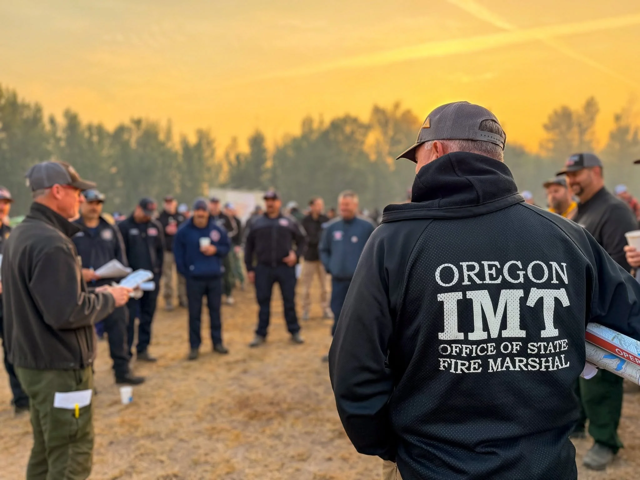
If fire conditions change and the threat to structures exceeds the capabilities of local and wildland resources, the Oregon State Fire Marshal remains prepared to rapidly redeploy resources.
In wildfire terms, containment refers to the percentage of the fire’s perimeter where firefighters have established and secured control lines — such as roads, dozer lines, hand lines or previously burned areas — that are expected to prevent the fire from spreading beyond its existing boundary. A fire at 76% containment does not mean 76% of the fire is extinguished. Fuels can continue to burn and smolder well inside the perimeter, producing visible flames and smoke for weeks. Large logs, stumps and deep organic material can hold heat long after the fire stops advancing, and some large wildfires are not considered completely out until sustained fall rains or even winter snow finally extinguish remaining heat.
Lightning remains a concern
Elevated fire-weather conditions are expected to continue Friday as warm, dry air remains over the region. The National Weather Service is forecasting very low humidity in the morning, with winds beginning from the east to southeast along higher terrain before shifting to west and northwest winds in the afternoon.
Showers or thunderstorms could develop Friday evening and early Saturday, bringing the possibility of lightning, sudden gusty or erratic winds and brief light rainfall. The National Weather Service expects storm activity to move north of the area by sunrise Saturday.
Weather conditions on Mount Hood also remain dry and warm. At Mount Hood Meadows, located at about 6,540 feet, the National Weather Service reported temperatures around 68 degrees Friday morning with humidity near 20% and northeast winds around 11 mph. At Timberline Lodge, at about 5,800 feet, temperatures were around 71 degrees with humidity near 20%.
Higher elevations are also experiencing stronger winds. At the Timberline Magic Mile station, at about 6,990 feet, the National Weather Service reported southeast winds of 26 mph Friday morning.
The National Weather Service forecast calls for increasing moisture and a chance of showers or thunderstorms Friday evening into early Saturday across the Cascades. Officials warn that any storms could produce gusty or erratic winds, which can quickly change fire behavior.
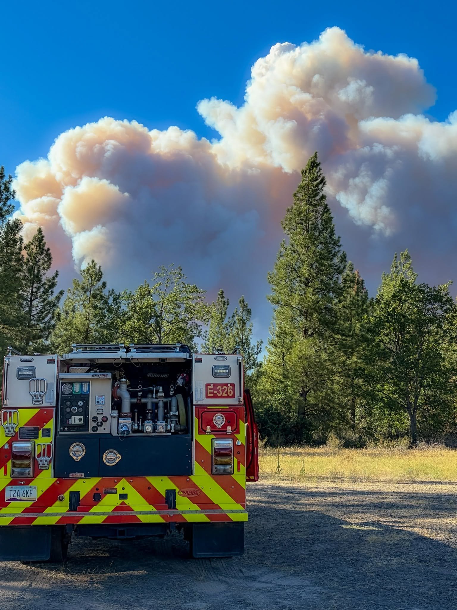
Smoke will remain visible in communities east and southeast of the fire as winds carry smoke away from the fire area. Residents can monitor the latest smoke conditions through the AirFire smoke outlook and AirNow fire and smoke map.
Evacuations and closures
Hood River and Wasco counties continue to have evacuation notices ranging from Level 1, Be Ready, to Level 2, Be Set, and Level 3, Go. Residents should check the latest evacuation information at PerimeterMap.
A closure remains in effect on the Mt. Hood National Forest. A temporary flight restriction is also in place over the fire area. Fire officials said aerial firefighting operations can be suspended when unauthorized drones are detected in the area.
Motorists traveling Highway 35 are asked to use caution as firefighters, heavy equipment and emergency personnel continue to work along and near the roadway. Hazard-tree mitigation work will continue, and drivers should slow down, remain alert and follow directions from personnel.
Current state and county road closures are available through TripCheck.
A campfire ban remains in effect on the Mt. Hood National Forest. Additional burning and fire restrictions are in place throughout the region. Residents should check current restrictions through Oregon Department of Forestry.
The latest Grasshopper Fire information is available through InciWeb.