
Grasshopper Fire Aug. 15: 30% containment as crews work to secure lines before fire weather worsens
Grasshopper Fire reaches 30% containment as crews brace for hotter, windier weather
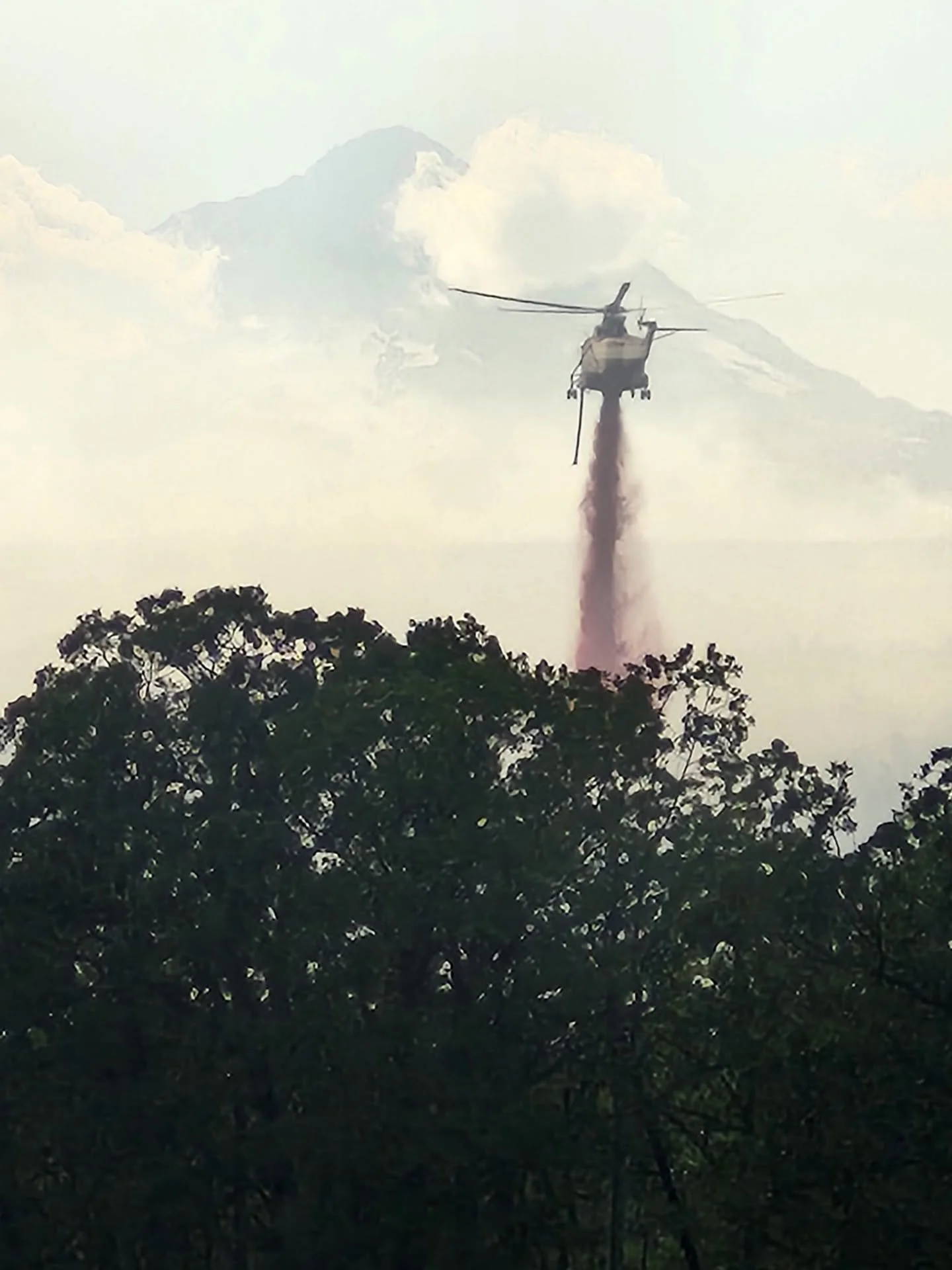
Photo courtesy Grasshopper Fire Facebook page.
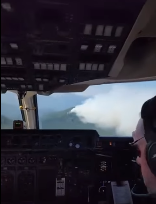
A unique look from the air inside Tanker 160 making a drop on the Grasshopper Fire. Courtesy Grasshopper Fire Facebook Page
THE DALLES, Ore., Aug. 15, 2026 — Firefighters gained ground on the massive Grasshopper Fire on Saturday, pushing containment to 30% as crews worked to strengthen firelines before hotter, drier and potentially windier conditions return early next week.
The fire has burned 86,974 acres and has 1,719 personnel assigned, according to the latest incident management team update.
Containment increased after firefighters established additional containment along the Highway 35 corridor. Fire activity remained significant in several areas Friday and overnight, including along the eastern perimeter and near Shadybrook, where pockets of previously unburned vegetation continued to burn.
An overnight infrared flight was not completed, meaning the acreage figure could change once updated mapping becomes available.
Firefighters are hoping to capitalize on relatively favorable weekend weather before conditions become more challenging Monday and Tuesday.
According to a National Weather Service forecast provided for the fire area, temperatures are expected to climb to about 89 degrees Sunday and 91 Monday, followed by a high near 88 Tuesday. Winds should remain relatively light through Monday, although fire managers said strengthening northwest winds and increasingly dry conditions could create elevated to potentially critical fire weather early next week.
The combination of heat, low humidity and wind is particularly important on a large wildfire. Hot, dry conditions pull moisture from vegetation, while stronger winds can increase fire intensity and push flames rapidly across available fuels.
Wind can also produce spot fires, carrying burning embers beyond established firelines and igniting vegetation well ahead of the main fire. Under strong wind conditions, embers from wildfires can travel significant distances, potentially creating new fires outside containment lines and complicating suppression efforts.
The National Weather Service has previously forecast above-normal significant fire potential across the region through September amid persistent drought conditions.
Firefighters saw increased smoke and column development Friday afternoon as the Grasshopper Fire consumed unburned vegetation within and around established control areas. Fire officials said that activity helped remove remaining fuels and strengthen areas around Shadybrook.
Farther east, the fire pushed along the middle portion of the eastern perimeter. Fixed-wing aircraft, including Super Scoopers, helicopters, bulldozers and ground crews worked together to slow the advance and reinforce control lines. Fire officials said the increased activity did not result in additional impacts to structures.
Crews also planned a tactical firing operation designed to tie off the fire from the Shadybrook area, but were unable to finish the operation overnight. Firefighters will resume the work when conditions allow.
The southeastern portion of the fire remains one of the primary concerns Saturday.
Near the northwest corner, firefighters completed another tactical firing operation to strengthen control lines. Much of the remaining northern perimeter is relatively cool, with crews mopping up as far as 100 feet inside the burned area.
Southern containment lines also continued to hold, with mop-up extending 100 feet or more into the fire footprint.
Conditions remain more difficult on the southwest corner, where the fire is established in steep terrain and heavy fuels. Poor visibility prevented aircraft from operating there Friday. Fire managers said heavy equipment crews are expected to conduct a high-angle operation in coming days to establish control lines through the difficult terrain.
Some portions of the fire received help from the weather overnight. Wetting rain fell along the Highway 35 corridor and northern edge, reducing the likelihood that grasses and other light fuels will readily ignite.
Fire officials cautioned, however, that the rain did little to change conditions in larger fuels. Logs and other heavy vegetation can remain dry below the surface and begin burning more actively again as temperatures rise, humidity falls and winds increase.
Structural protection crews continue patrolling and mopping up around Friend Road and Fifteenmile Creek Road and remain positioned near structures in Sportsman’s Paradise, Logging Gulch and Camp Baldwin.
Near Friend Road, additional bulldozers are being used to extend and connect control lines protecting homes and other structures. Around Shadybrook Road, structural firefighters and National Guard hand crews are constructing hand and dozer lines as part of efforts to protect structures and strengthen the larger containment strategy.
Aircraft will remain an important part of Saturday's operation. Super Scoopers, capable of dropping more than 1,600 gallons of water at a time, are expected to continue working the southeastern edge along with helicopters supporting firefighters on the ground.
Thunderstorms are possible Saturday, particularly near the Cascade crest and Highway 35 corridor. While additional rain could help firefighters, thunderstorms can also generate sudden and erratic wind shifts capable of quickly changing fire behavior.
The more significant weather concern comes early next week as temperatures rise and conditions dry.
Sunday is forecast to reach about 89 degrees with north winds of 5 to 7 mph during the afternoon. Monday could reach 91 degrees with generally calm winds during the day, followed by northwest winds of 5 to 7 mph Monday night. Tuesday is forecast to be sunny with a high near 88.
Fire managers said the weekend represents an important window to strengthen containment lines before the anticipated change in weather.