
Grasshopper Fire reaches 66% containment as evacuations ease, Pine Hollow reopens
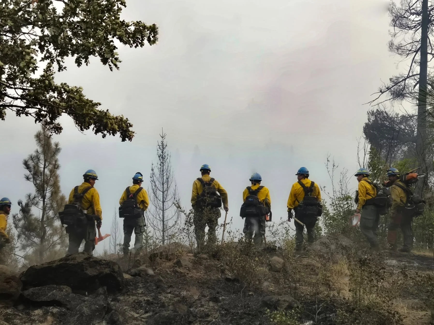
All photos courtesy Grasshopper Fire Facebook Page
By Tom Peterson
The Dalles, Ore., Aug. 20, 2026 — Pine Hollow Reservoir has reopened, evacuation levels have been lifted or reduced across portions of Wasco, Hood River and Clackamas counties, and the Red Cross shelter in The Dalles has closed as nearly 1,900 firefighters continue working the 92,456-acre Grasshopper Fire.
The fire was reported at 66% containment Thursday - an increase of 46 percent in just six days. 1,901 personnel are still assigned to the incident. Increasing containment and control lines holding around much of the fire have substantially reduced the threat to structures, according to fire officials.
In wildfire terms, containment refers to the percentage of the fire’s perimeter where firefighters have established and secured control lines — such as roads, dozer lines, hand lines or previously burned areas — that are expected to prevent the fire from spreading beyond its existing boundary. A fire at 66% containment does not mean 66% of the fire is extinguished. Fuels can continue to burn and smolder well inside the perimeter, producing visible flames and smoke for weeks. Large logs, stumps and deep organic material can hold heat long after the fire stops advancing, and some large wildfires are not considered completely out until sustained fall rains or even winter snow finally extinguish remaining heat.
However, the improving conditions have allowed the Oregon State Fire Marshal to scale back the number of structural task forces assigned to the fire.
Several evacuation levels were lifted Wednesday in Wasco and Hood River counties, while evacuation levels related to the Grasshopper Fire were lifted in Clackamas County.
Fire officials urged residents to continue monitoring evacuation information because Level 1, Level 2 and Level 3 notices remain in portions of Wasco and Hood River counties.
Firefighters gain ground
On Wednesday, the fire remained within its perimeter along Forest Road 4421 as available fuels became scarcer. Fire continued burning in the northwest corner until reaching a control line, where it held.
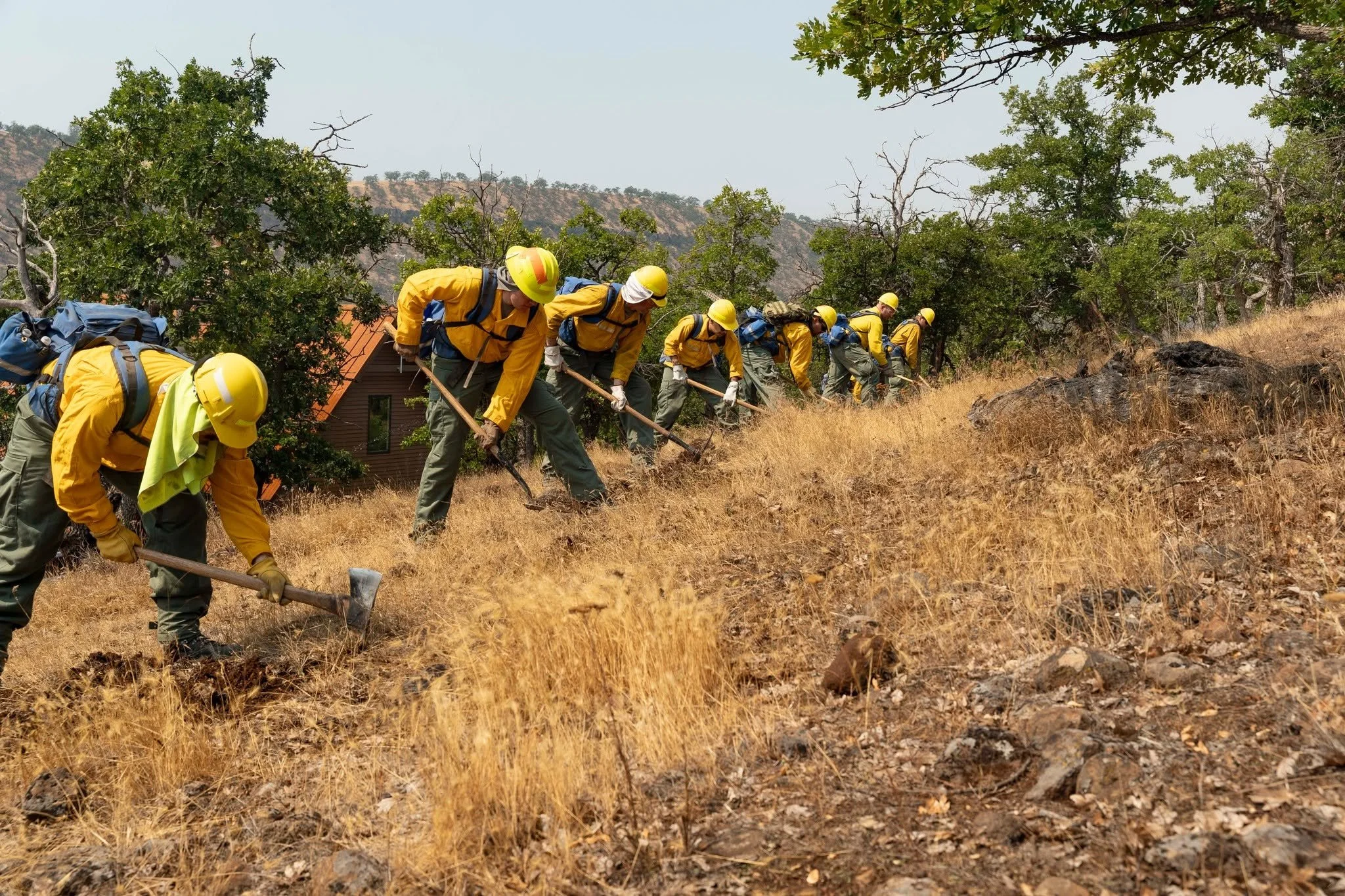
Crews continued mop-up operations, contributing to the increase in containment to 66%.
Suppression repair work began along the southern portion of the fire while firefighters continued searching for and extinguishing remaining heat. In the southwest corner, heavy equipment worked along high-line areas, cutting additional fuel breaks and removing hazardous trees.
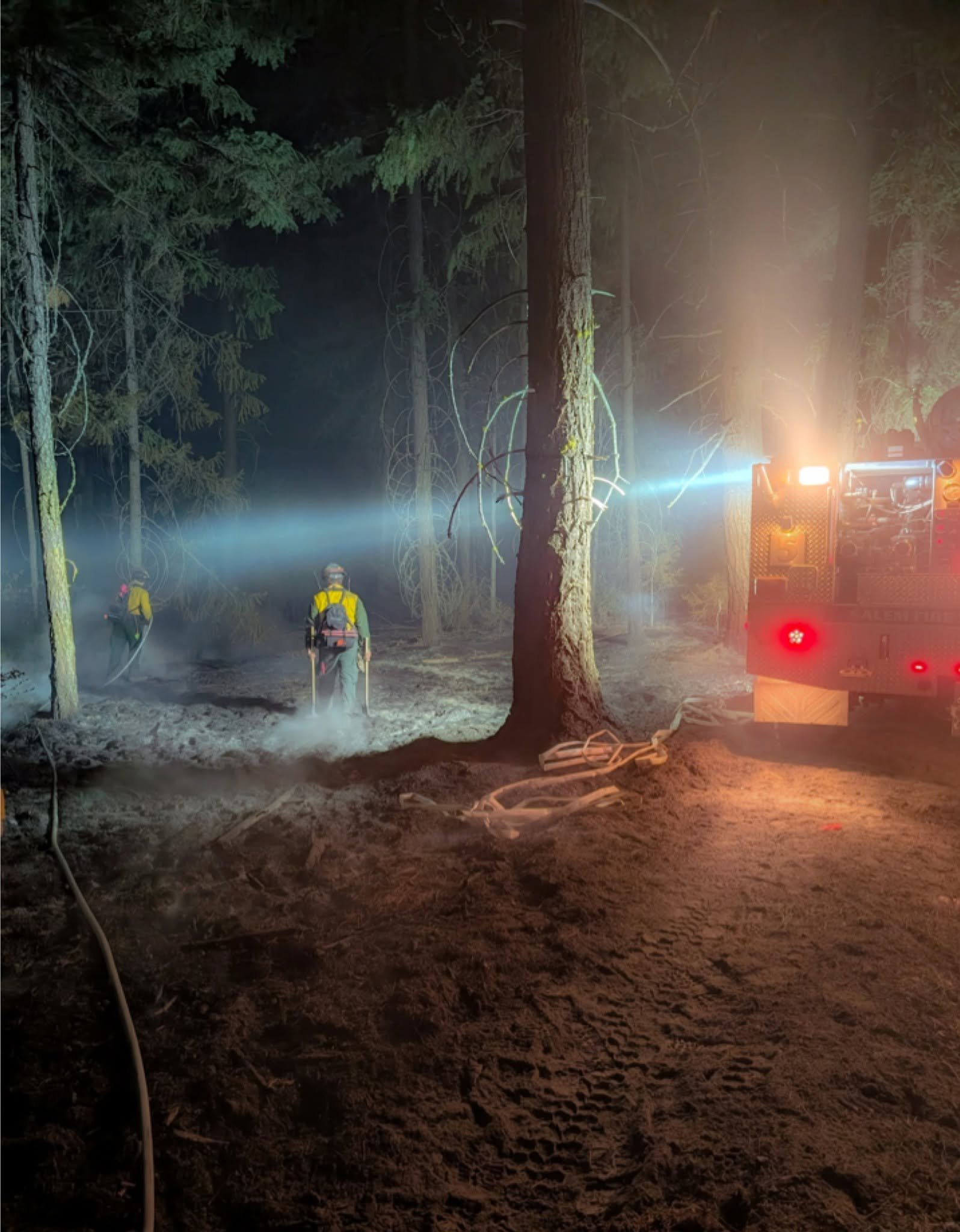
An inversion trapped smoke close to the ground Wednesday night, reducing visibility and affecting firefighting operations.
On Thursday, crews are continuing mop-up and suppression repairs while strengthening protection around communities. Cleanup is also underway along Highway 35 and Logging Gulch Road as pockets of previously unburned vegetation continue to burn within the fire perimeter.
Structural firefighters remaining on the incident are working with wildland crews around homes and patrolling neighborhoods. Fire engines, wildland resources and heavy equipment remain positioned around the fire in case conditions change.
Light winds now, stronger winds possible Saturday
Weather could become an increasingly important factor as crews work to secure the fire.
The National Weather Service forecast for the Mount Hood Meadows area calls for relatively light winds Thursday and Friday before a cold front brings stronger winds and a chance of thunderstorms late Friday into Saturday. The forecast calls for southwest winds around 7 mph Thursday and winds generally between 5 and 8 mph Thursday night. Friday winds are expected to remain around 5 to 7 mph before becoming light and variable during the afternoon.
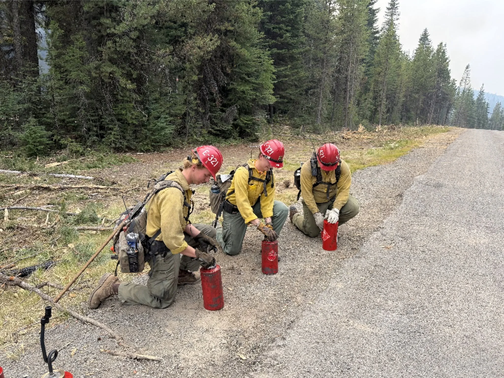
Drip torches are used to set back burns to reduce fuels within containment lines.
Those lighter winds could provide firefighters with a window of more favorable conditions. Wind is particularly important on an active wildfire because stronger winds can carry burning embers beyond established control lines, creating spot fires and making direct firefighting operations more difficult and potentially unsafe.
Conditions are expected to change Friday night into Saturday. The National Weather Service forecast calls for a 30% chance of showers and thunderstorms after 11 p.m. Friday, with west winds potentially reaching 14 mph. By Saturday, west winds are forecast at 14 to 17 mph, with gusts as high as 23 mph, along with a 20% chance of showers and thunderstorms before 11 a.m.
Fire officials said a dry cold front moving through the area late Friday into Saturday could produce stronger west to northwest winds before conditions return to more typical seasonal patterns.
Smoke and travel impacts continue
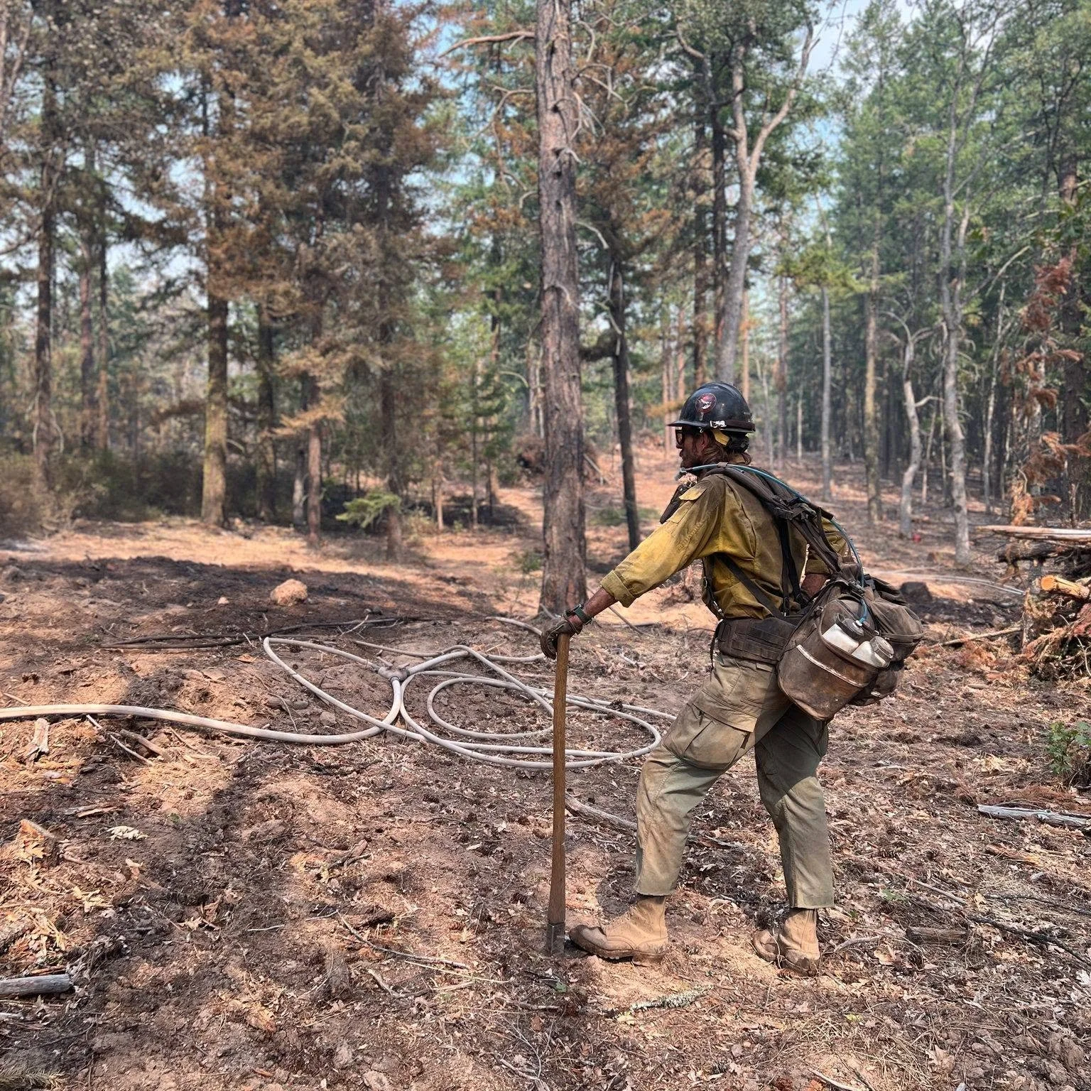
Smoke report: Smoke is expected to remain visible in communities east and southeast of the fire as winds carry smoke away from the fire area.
Motorists are being asked to use caution along Highway 35, where firefighters, heavy equipment and other emergency personnel continue working near the roadway. Hazard-tree removal is also continuing.
A closure remains in effect on the Mt. Hood National Forest, and a temporary flight restriction remains over the fire area. Campfire and other burning restrictions also remain in effect.
Fire officials urged residents and visitors to continue monitoring conditions despite the improving containment and reduced evacuation levels.
The Grasshopper Fire has now burned more than 92,000 acres as firefighters continue working toward full containment.
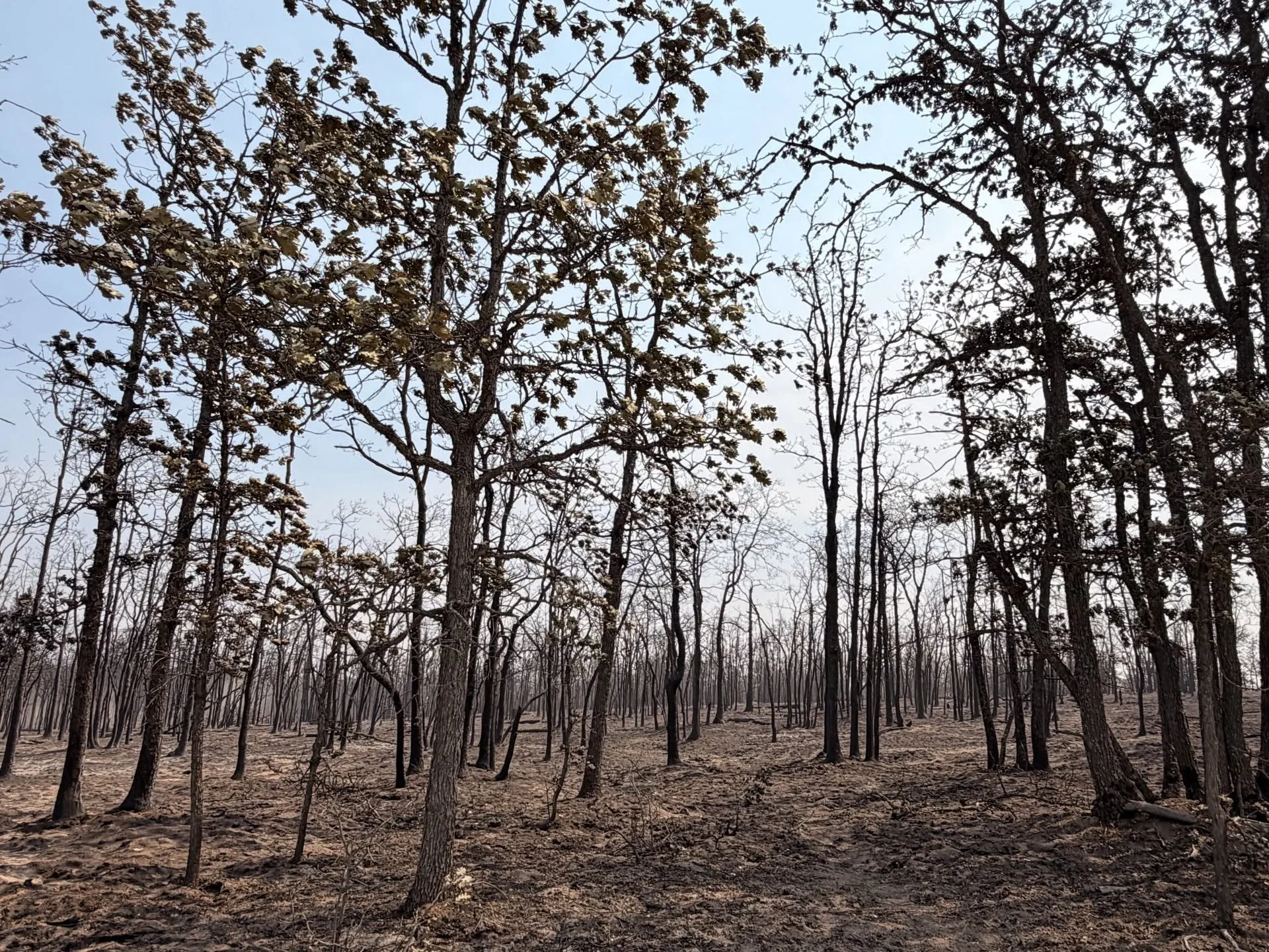
Weather Looks Favorable Early Next Week
The National Weather Service forecast for the Mount Hood/Grasshopper Fire area looks fairly favorable for firefighting next week — Monday through Wednesday — especially compared with the windier conditions expected this weekend. The big limitation is that there is very little meaningful precipitation in the forecast, so fuels will remain dry.
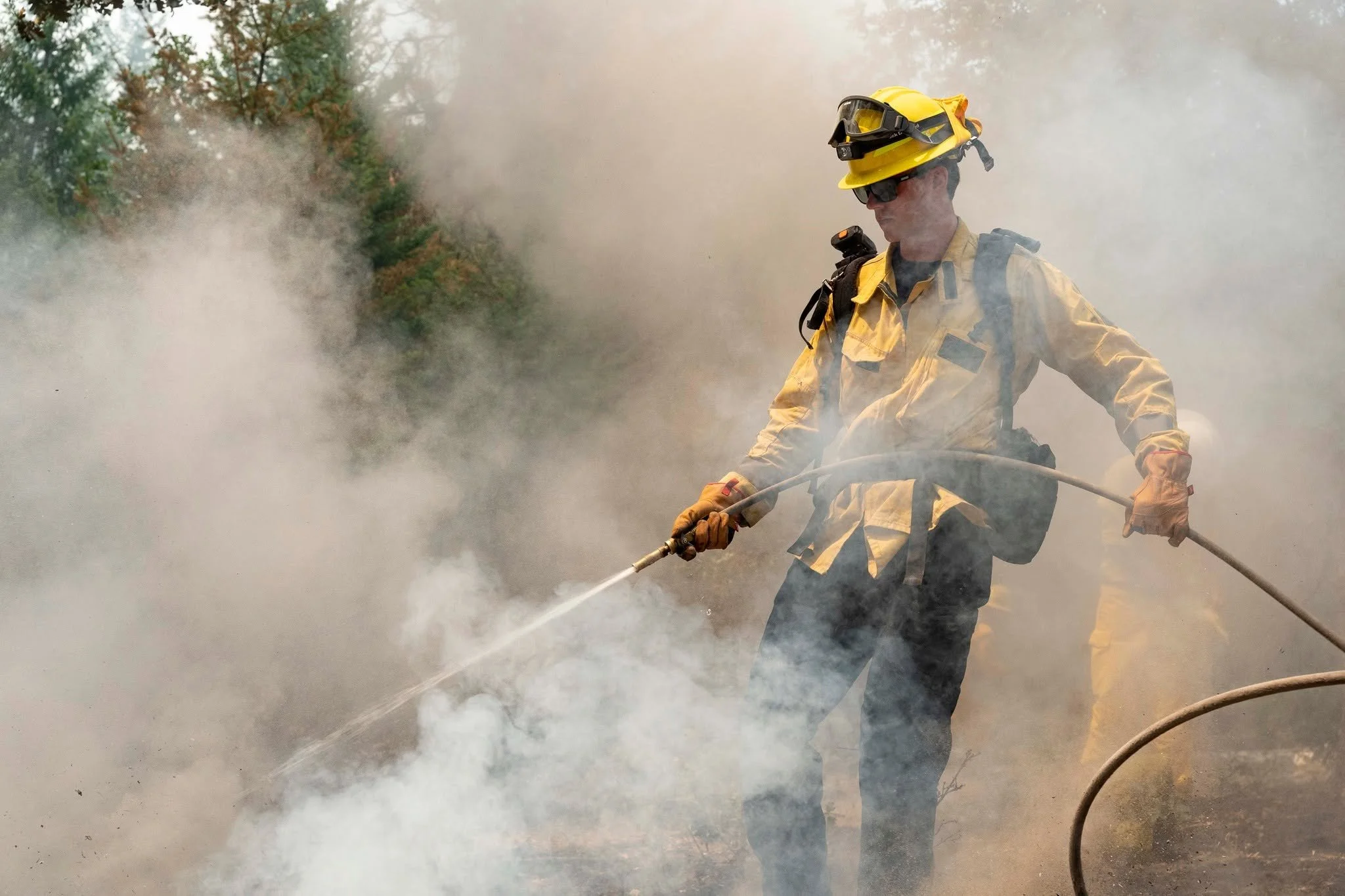
The NWS point forecast near Mount Hood currently calls for sunny conditions Monday with a high near 54 at higher elevations, sunny Tuesday with a high near 53, and mostly sunny Wednesday with a high near 49. Lower elevations on the southeast side of Mount Hood will be considerably warmer, with Monday and Tuesday highs reaching into the 70s.