National Scenic Area, a century in the making
Columbia River Gorge Commissioner Rodger Nichols Gives us a summation on the History of the Gorge Scenic Area and how it operates
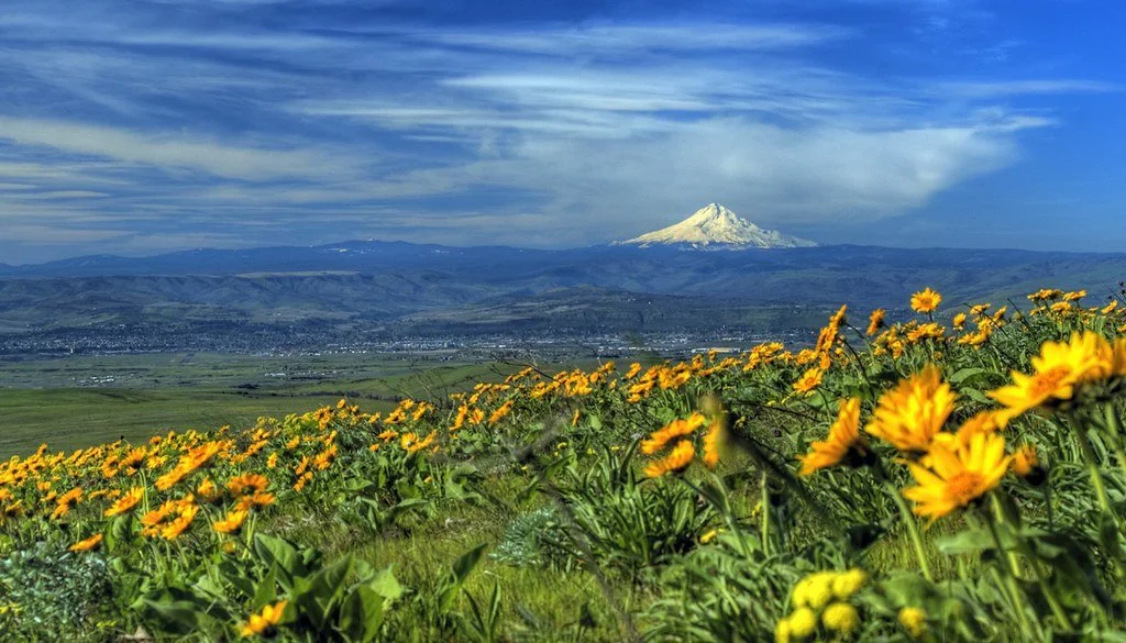
Dalles Mountain Road just across the Columbia River from The Dalles never fails to inspire when balsamroot and Mt. Hood provide a juxtaposition of wild and icy topography, almost palpable like the smell of new rain.
Rodger Nichols
Gorge Commission 101, by Rodger Nichols:
White Salmon, WA (March 30, 2022) - Whether you are new to the Columbia River Gorge, or have been here for a long while, you have probably heard about the Columbia River Gorge Commission and wondered who they are.
This is the first of a series of columns to bring you up to speed and keep you connected with the Gorge Commission’s plans and actions and how they affect communities and lands within the National Scenic Area (NSA).
The Columbia Gorge holds a beauty and sense of magic that has drawn humans for millennia, spurring human use and debate about its resource.
For thousands of years, the Gorge has been a region inhabited by native Peoples living in and protecting the natural environment. In modern times, conservation efforts to protect the waterfall corridor were started in 1915 after the opening of the Historic Columbia River Highway. Over time, 21 parks were created.
In 1937, the Pacific Northwest Regional Planning Commission noted the Gorge as an area of national significance. Over the decades, as the population increased in the Portland/Vancouver metropolitan areas, renewed efforts began in order to protect the region from sprawl and retain its scenic beauty.
Federal bi-partisan work was required since the area spanned two states. It was championed by Senators Mark Hatfield (R-OR) and Dan Evans (R-WA), and Representatives Don Bonker (D-WA) and Les AuCoin (D-OR), among others.
In 1986 the Columbia River Gorge National Scenic Area Act was passed. The purposes of the National Scenic Area Act are “(1) to establish a national scenic area to protect and provide for the enhancement of the scenic, cultural, recreational, and natural resources of the Columbia River Gorge; and (2) to protect and support the economy of the Columbia River Gorge area by encouraging growth to occur in existing urban areas and by allowing future economic development in a manner that is consistent with paragraph (1).”
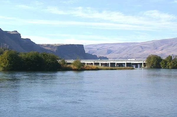
The mouth of the Deschutes River. The Columbia River lies just beyond the two highway bridges. The Deschutes River is the official border for the National Scenic Area to the south.
The NSA was defined as 85 miles from the mouth of the Sandy River to the mouth of the Deschutes River on the Oregon side, and a similar span on the Washington side east to Maryhill. To the north and south, the National Scenic Area was bounded by the ridgelines visible from Interstate 84 and SR 14.
The Act also authorized Oregon and Washington to form a Bi-State Compact, which in turn created the Gorge Commission to jointly develop a Management Plan to be administered by the Commission and counties in the NSA.
To allow pre-existing communities space to grow and thrive, thirteen “urban areas” were exempt from NSA land use ordinances resulting from the Management Plan: Cascade Locks, Hood River, Mosier and The Dalles in Oregon, and Home Valley, Carson, Stevenson, North Bonneville, White Salmon, Bingen, Lyle, Dallesport, and Wishram in Washington.
The bi-state Columbia River Gorge Commission has 13 members. Six counties in the Gorge appoint a commissioner: Clark, Skamania, and Klickitat in Washington; Multnomah, Hood River and Wasco in Oregon. The Governors of Oregon and Washington each appoint three commissioners, one of whom
must reside in the National Scenic Area. Columbia River Gorge National Scenic Area Manager with the USDA Forest Service is a thirteenth, non-voting member.
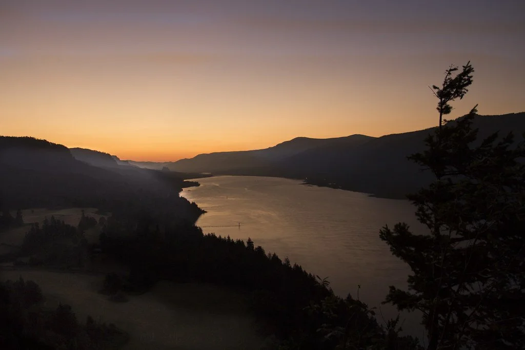
Looking west from Dog Mountain in Washington.
The effectiveness of this setup is that it brings a variety of perspectives to balance local and regional interests of both states. Operational funding is provided equally by the states of Oregon and Washington. The Commission currently meets monthly on the second Tuesday of each month by Zoom. Agendas are available at www.gorgecommission.org a week prior to each meeting.
Has it been working?
Consider the contrast at the Sandy River confluence, with downtown Troutdale, the truck stop, and the bustling shopping mall on the west bank compared to the open space and uncluttered views of the NSA. Designation of specific development areas and protection of open spaces has enabled beautiful landscapes for all to enjoy.
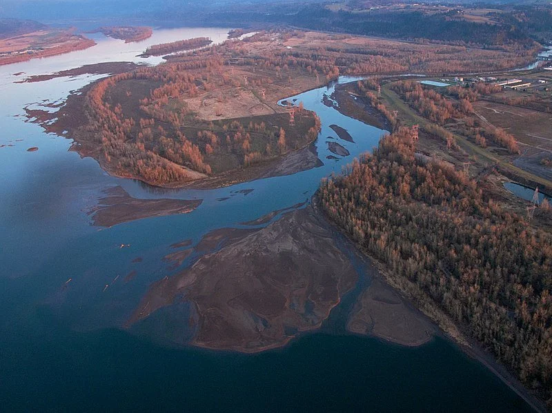
The mouth of the Sandy River near Troutdale serves as the western boarder of the National Scenic Area. And you can tell. After crossing the River while heading west on Interstate 84, one immediately drives into the high density suburbs of Portland.
—-
The Columbia River Gorge Commission’s mission is to establish, implement and enforce policies and programs that protect and enhance the scenic, natural, recreational and cultural resources of the Columbia River Gorge National Scenic Area, and to support the economy of the region by encouraging growth to occur in existing urban areas and allowing economic development consistent with resource protection. The Gorge Commission was established in 1987 by the states of Oregon and Washington through an interstate compact, and covers portions of Clark, Skamania, and Klickitat counties in Washington, and Multnomah, Hood River, and Wasco counties in Oregon. For more information visit gorgecommission.org.


