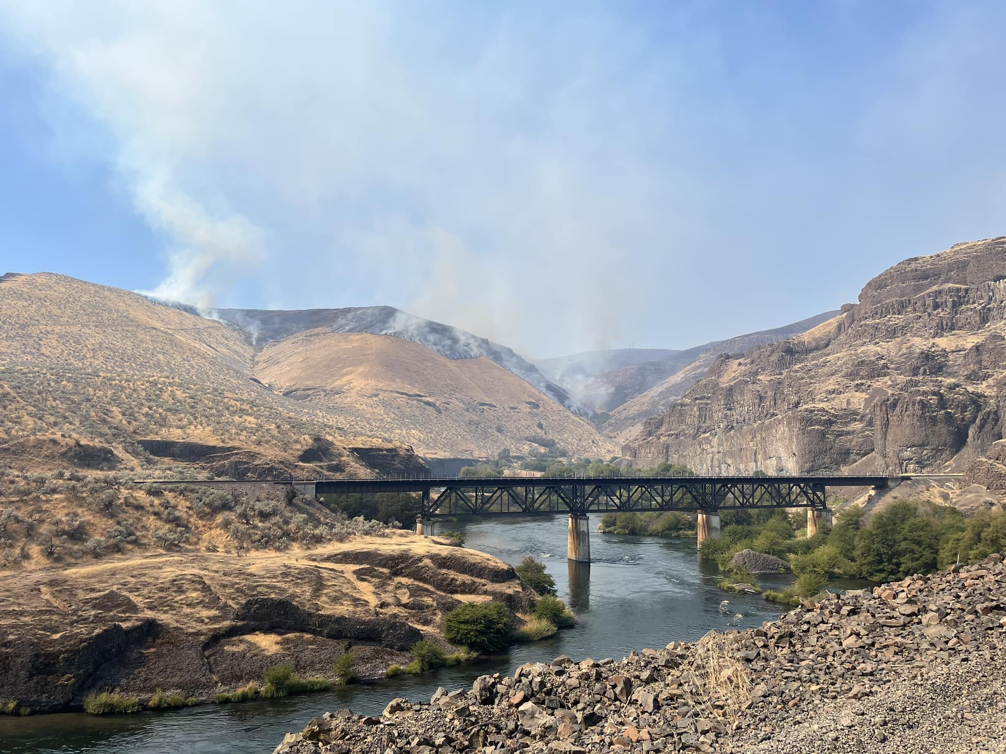
Oak Canyon Fire causes closure of BLM Land abutting Deschutes River
Fire can be seen above the twin tunnels bridge from the BLM Access road leading to Mack’s Canyon on the Deschutes River.
The Dalles, Ore., Sept. 3, at 2 p.m.— The Oak Canyon Fire, burning east of Tygh Valley in Wasco County, has prompted Level 3 (Go Now) evacuation orders, the Wasco County Sheriff's Office reported. The fire has burned thousands of acres and has prompted the Bureau of Land Managment to close public lands within the vicinity of the fire.
The access road to Mack’s Canyon launch site at approximately river mile 40 on the Deschutes River is temporarily closed as firefighters work to curb the blaze.
Both firefighters and an aerial attack with helicopters and FireBoss Scooper planes are underway.
Oak Canyon Fire Evacuation Map, Sept. 3 at 1 p.m. Green means Get Ready. Yellow, Get Set. Red, Go Now. Click the image to enlarge it.
New Evacuation Levels / Wasco County Sheriff’s Office
North Side
Level 1 Get Ready from the Tygh Ridge/Hwy 197 Intersection directly due east to 60833 Tygh Ridge Rd to include Hulse Rd. Level 1 Get Ready
Hwy 216
Level 2 Get Set from the North side of Hwy 216 from Milepost 1 to Milepost 3.
Level 3 Go for All of Conroy Road up to 1 mile East and west side of Conroy Rd north of Hwy 216.
South Side
Level 2 Get set evacuation zone from Canyon Rd/Hwy 216 due east to the Deschutes River and due south to Oak Springs Rd to the Deschutes River.
Make it stand out
Whatever it is, the way you tell your story online can make all the difference.


