
Regional Wildfires Continue to Threaten Communities Across Mid-Columbia
By Joshuah Albert
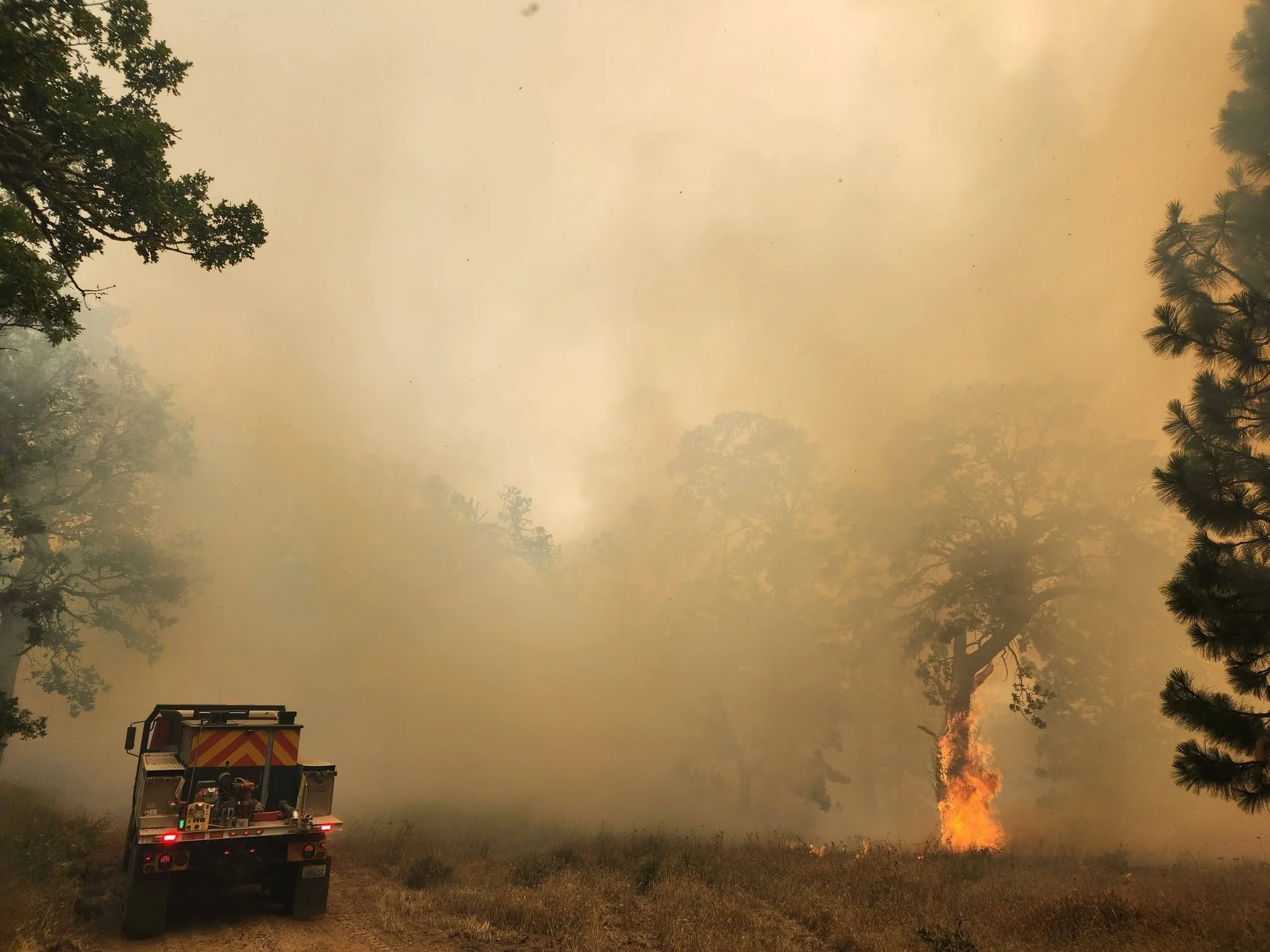
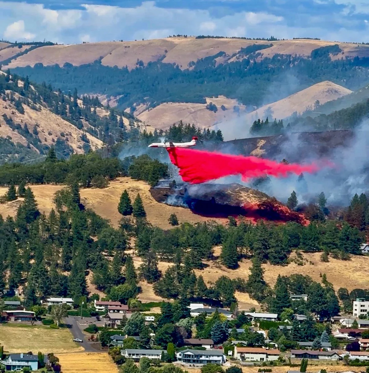
The Dalles, Ore., July 17, 2026 — Multiple wildfires continued burning across Gilliam, Sherman and Wasco counties Friday morning, prompting evacuations, destroying homes and drawing firefighting resources from across the Mid-Columbia
Officials said firefighters made progress overnight despite difficult conditions, but several fires remain active and evacuation orders are still in effect in multiple communities.
Wasco County
The 0432 Fire, located about 1.5 miles southwest of Shaniko, has burned approximately 400 acres.
Evacuation orders remain in effect, including a Level 3 "Go" evacuation for the town of Antelope and a Level 2 "Set" warning for the town of Shaniko. Highway 293 remains closed.
The Deadman Canyon Fire, burning north of Antelope Highway and east of U.S. Highway 97, approximately 6.5 miles west of Antelope, has grown to an estimated 5,000 acres.
Level 3 evacuation orders remain in place for properties along both sides of the highway between mileposts 4 and 8.
Gilliam County
The largest wildfire in the region, officially named the Hoag Fire, has grown to approximately 10,000 acres west of Highway 19.
The Gilliam County Sheriff's Office said all current evacuation levels will remain in place as firefighters continue suppression efforts. Officials confirmed multiple homes were destroyed along French Charlie Road near Middle Rock Creek. Several outbuildings also were lost in areas between Lower Rock Creek, Middle Rock Creek and French Charlie Road.
Authorities said active fire behavior remains confined to the west side of Highway 19.
Firefighters from agencies across Eastern and Central Oregon are assisting Gilliam County crews in battling the Hoag Fire and two additional wildfires in southern Gilliam County.
A shelter has been established for displaced residents at Arlington Elementary School, 1400 Main St. in Arlington. Emergency medical services are available at the shelter.
The Hopkins Fire, burning east of Highway 206 near Devils Butte Road northwest of Condon, has reached approximately 3,000 acres. Officials said the Arlington shelter also is available for residents displaced by that fire.
Sherman County
Fire crews have stopped the forward progress of the Starvation Fire, which has burned about 4,500 acres and is estimated to be 80% contained.
The Porcupine Ridge Fire, also estimated at 4,500 acres, prompted a Level 3 "Go Now" evacuation at approximately 4 a.m. Friday for the airbase off Richmond Lane after flames advanced toward the facility.
Sherman County officials said evacuation notifications were issued through the Everbridge emergency alert system, while Sheriff Brad Bettencourt, deputies and South Gilliam Ambulance personnel conducted door-to-door notifications.
A temporary shelter has been established at the South Gilliam Emergency Services Building, 220 N.E. Main St. in Condon.
The Wilcox Fire, burning near Wilcox Lane in the Kent area, has reached approximately 3,000 acres. Officials have lifted the previous Level 3 evacuation order for Wilcox Lane.
Ongoing Response
Emergency officials continue urging residents to avoid affected areas unless travel is absolutely necessary, remain alert for changing fire conditions and monitor official evacuation notices. Firefighters continue working to protect lives, homes and critical infrastructure as hot, dry conditions persist across the region.
Support Local News!
Available for Everyone; Funded by Readers.