
Big Horn Fire estimated at 50,000 acres; Weather favorable to containment effort
From SE Washington Interagency Team:
The Dalles, Ore., July 26, 2:30 p.m. — Overnight crews worked to establish a stronger fire perimeter and monitor areas of concern. With cooler temperatures and reduced winds, the fire stayed within the existing boundaries.
Strike teams, aircraft and dozers are currently working the estimated 50,000 acre-blaze which is now 21 percent contained and burning 7 miles southeast of Bickleton.
No structures have been reported lost at this time.
Additional resources have arrived and are aiding the suppression efforts. Today’s weather brings lower temperatures, lower winds and an increase in relative humidity. All of these work together to reduce the fire’s growth potential. These favorable conditions will assist the firefighters as they continue to improve existing control lines around the fire.
For today’s shift, firefighters will concentrate on improving and installing additional control lines in all areas of the fire. Work will also focus on mitigating any safety hazards or impacts to the public. Night shift operations will continue.
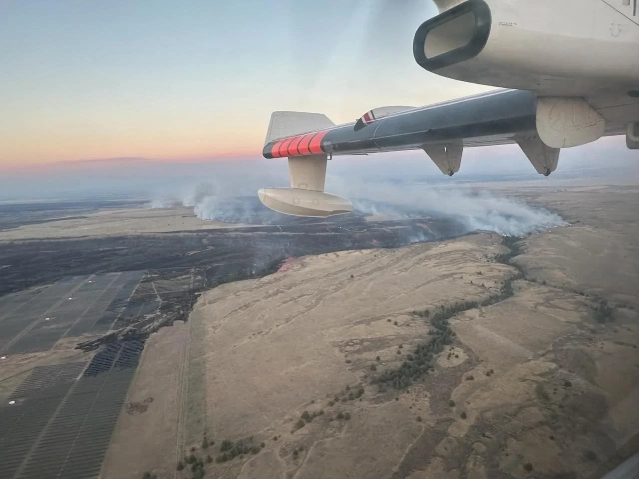
Most recent Big Horn Fire Map. Click the image to enlarge it.
Evacuation Levels: Evacuation levels remain in effect. Please visit Klickitat County Emergency Management’s website or check Facebook:
- https://www.klickitatcounty.org/249/Emergency-Management -
Road Closures: East Road is closed from the Town of Bickleton south to Middle Road. Hwy 14 from the Town of Roosevelt to Alderdale Road. Alderdale Road from Linda Lane south to the intersection with SR 14.
Weather and Fire Behavior: Cooler temperatures and lower winds last night and into today. Warm and dry conditions continue with wind gusts around 10 mph.
Smoke: Satellite imagery this morning shows large swaths of smoke across the region. With the large number of fires in the Pacific NW and continued westerly flow, smoke impacts should be expected in central and eastern Washington through the weekend. New Air Quality Alerts are in place for Klickitat, Benton, Walla Walla, Columbia, Garfield, and Asotin counties. If you are near fire locations, please stay up to date on evacuation orders.
While there are no current air quality alerts for Klickitat County, communities close to active wildfires could see air quality worsen as the fire and wind conditions change. Critical fire weather continues across Central and Eastern Washington; please continue to recreate responsibly as any fire starts could spread quickly. For more information on smoke and air quality, please visit: Washington Smoke Information (wasmoke.blogspot.com)
Shelter: An American Red Cross Shelter has been opened in neighboring Benton County and is currently assisting individuals and families who are displaced by the fire.
Patterson Elementary School
51409 Prior Ave
Patterson, WA 99345

Support Local News
Available to everyone. Funded by readers.