Williams Mine Fire blows up to 4,000 acres; new command team in place
By Tom Peterson / all photos courtesy Mt. Adams Area and Emergency Info
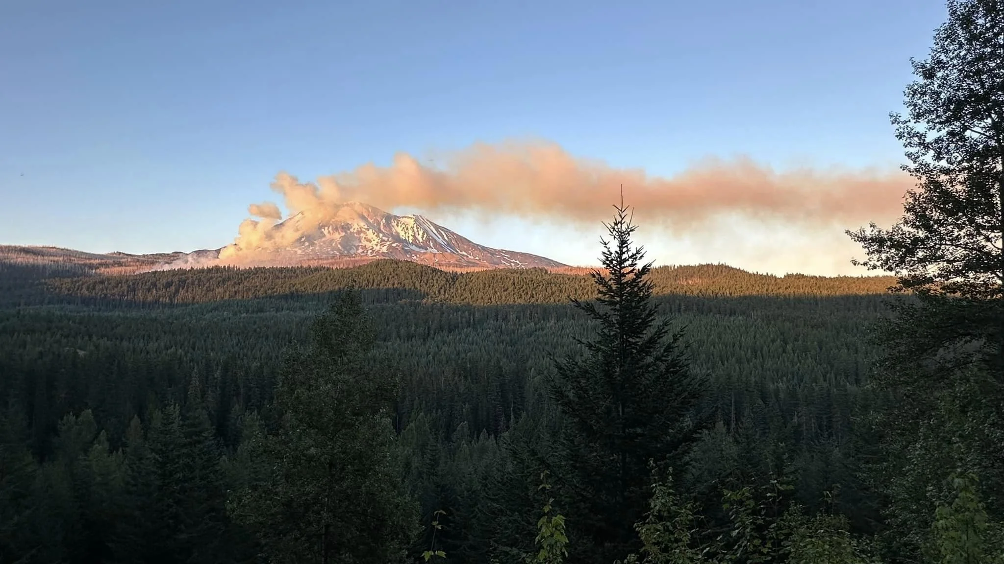
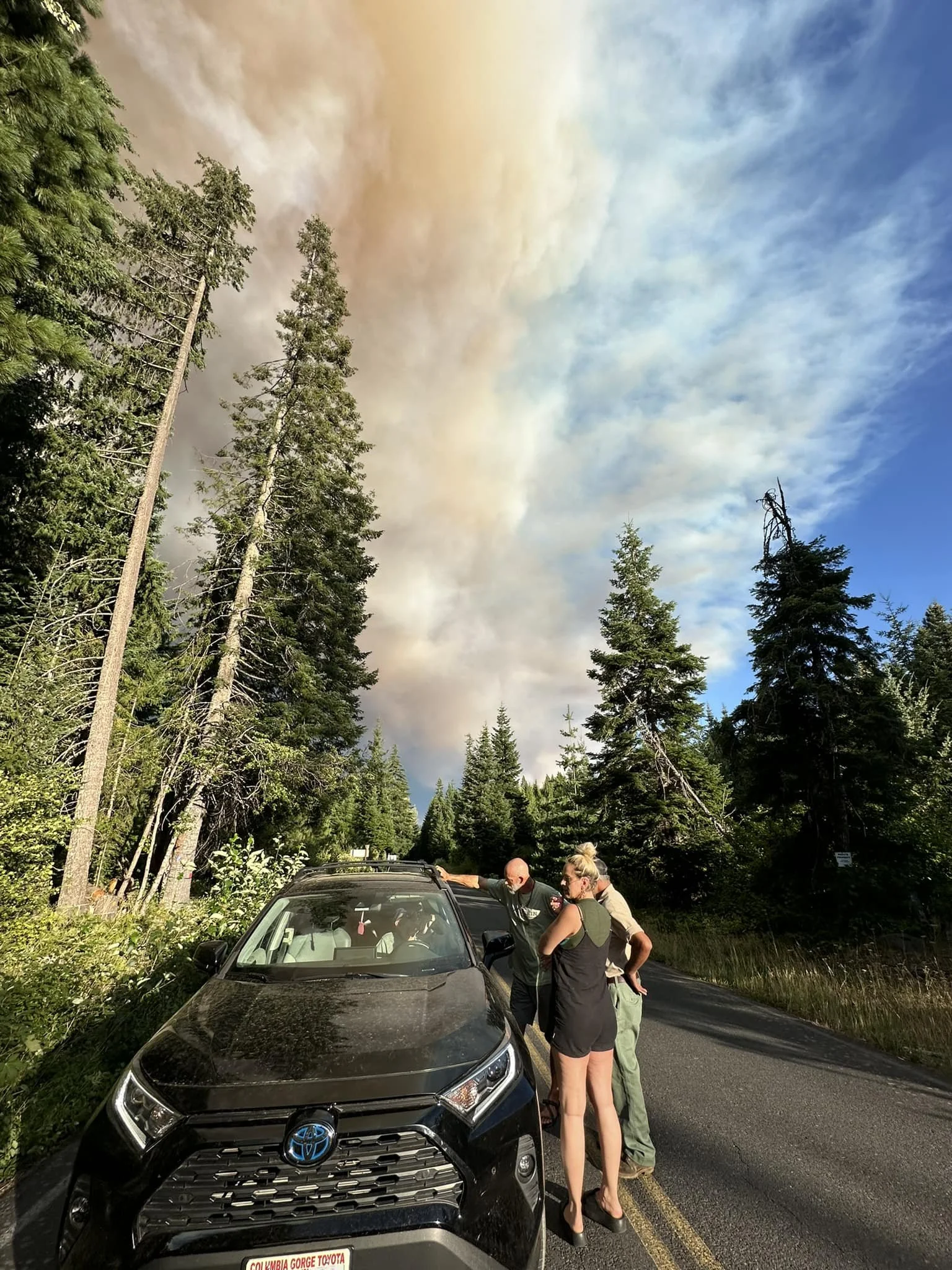
The Dalles, Ore., Aug. 8, 2024 — The Williams Mine Fire burning in heavy timber near Trout Lake, Wash., grew to more than 4,000 acres on Wednesday and a new incident command team took charge of the blaze this morning.
The Minnesota Incident Command System, Team C, with Incident Commander Jeb Backe, took command at 6 a.m.
118 personnel are now fighting the fire which is 0% contained.
Managers are using a full suppression strategy aiming to safely limit the wildfire’s spread. That involves extinguishing the fire, preventing its movement and or managing it when it has beneficial effects.
Lightning started the blaze on Monday, Aug. 5.
On Wednesday, Aug. 7, firefighters added division breaks on the fire perimeter to help clarify locations for resources to safely operate. Firefighters continue to clear along the fire perimeter to strengthen the line, according to a press release from the U.S. Forest Service
Additionally, crews worked an 8-acre spot fire off the 013 spur road.
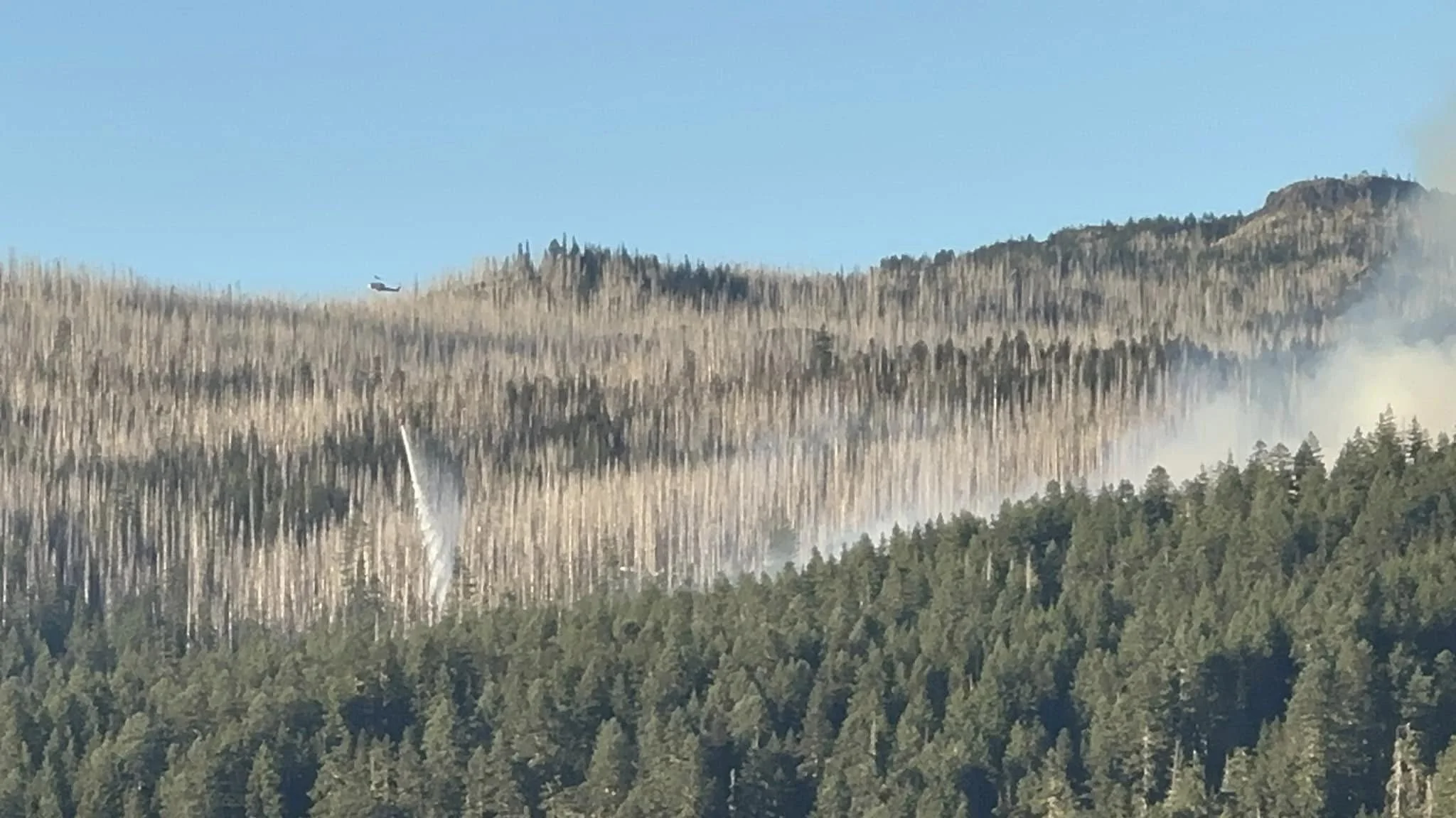
Firefighters intend to clear brush and other vegetation along the fire perimeter to strengthen containment lines today. “Aviation resources will be utilized when needed to cool areas of the fire so that firefighters can safely work. Structure protection resources are working to protect an historic structure in the fire area. The fire continues to burn in heavy timber actively,” the press release states.
While high winds are not predicted, high temperatures are, according to the National Weather Service. Winds are expected to top out at 7 mph but the high is predicted to hit 94 with low humidity in the Trout Lake region.
Evacuations
Williams Mine Fire Evacuation Map - Click the image to enlarge it.
Level 2 & 3 evacuations are in effect for the community of Trout Lake. An evacuation center is located at 1455 NW Bruin County Road, White Salmon. Evacuations are coordinated through the Klickitat and Skamania County Sheriff's Offices.
Real-time updates and information about evacuations can be viewed on their websites and Facebook pages:
Closures
A Forest Closure is in effect for the entire Mt Adams wilderness and areas adjacent to the fire. See full closure order information at Gifford Pinchot National Forest - Alerts & Closures (usda.gov)
The Pacific Crest Trail is closed between Willaims Mine and Potato Hill. Additional information is found on the Pacific Crest Trail Association website. The public is asked to avoid closure areas for the firefighters' safety.
William's Mine Fire | Pacific Crest Trail Closures (pcta.org)
Fire Restrictions
Public Use Restrictions for fire are in place in the Gifford Pinchot National Forest. Building, maintaining, attending, or using a fire, campfire, or charcoal fire is prohibited outside of designated developed campgrounds. For additional fire information, please visit the Gifford Pinchot National Forest website at Gifford Pinchot National Forest - Fire Management (usda.gov)
Cooperating Agencies & Tribes
Klickitat County Sheriff’s Department, Skamania County Sheriff’s Department, Washington Department of Natural Resources, Pacific Crest Trail Association, Bureau of Indian Affairs-Yakama Nation, Klickitat County, and Skamania County.
Support Local News
Available to everyone. Funded by readers.


